We build the
impossible
Specialized development for AI, computer vision, satellite imagery, and DevOps infrastructure.
What we do
We specialize in cutting-edge technology solutions that push the boundaries of what's possible.
Artificial Intelligence
Custom ML models and neural networks designed for production environments.
Computer Vision
Advanced image processing and visual analysis systems.
Satellite Imagery
Geospatial analysis and satellite data processing at scale.
DevOps Infrastructure
Scalable cloud architecture and deployment automation.
Portfolio
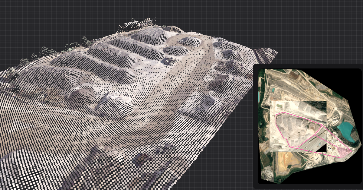
Satellite imagery processing
DatafalkSatellite imagery processing system that analyzes changes in global infrastructure, port facilities, and shipping routes to provide geospatial intelligence for Datafalk's supply chain risk management platform.
We developed a robust satellite imagery processing pipeline that analyzes imagery from multiple satellite constellations to detect changes in global infrastructure, port facilities, and shipping routes. Our automated processing system identifies infrastructure developments, capacity changes, and potential bottlenecks by comparing historical satellite data, providing monthly geospatial intelligence reports that feed into Datafalk's supply chain risk assessment algorithms.

Real-time weather analysis
Weather DataAI-driven platform for real-time weather data processing and automated weather forecasting, reducing energy waste and costs for utility providers.
We developed a real-time weather analysis platform that processes 10M+ data points daily across 5 countries, enabling automated weather forecasting and risk assessment for utility providers.
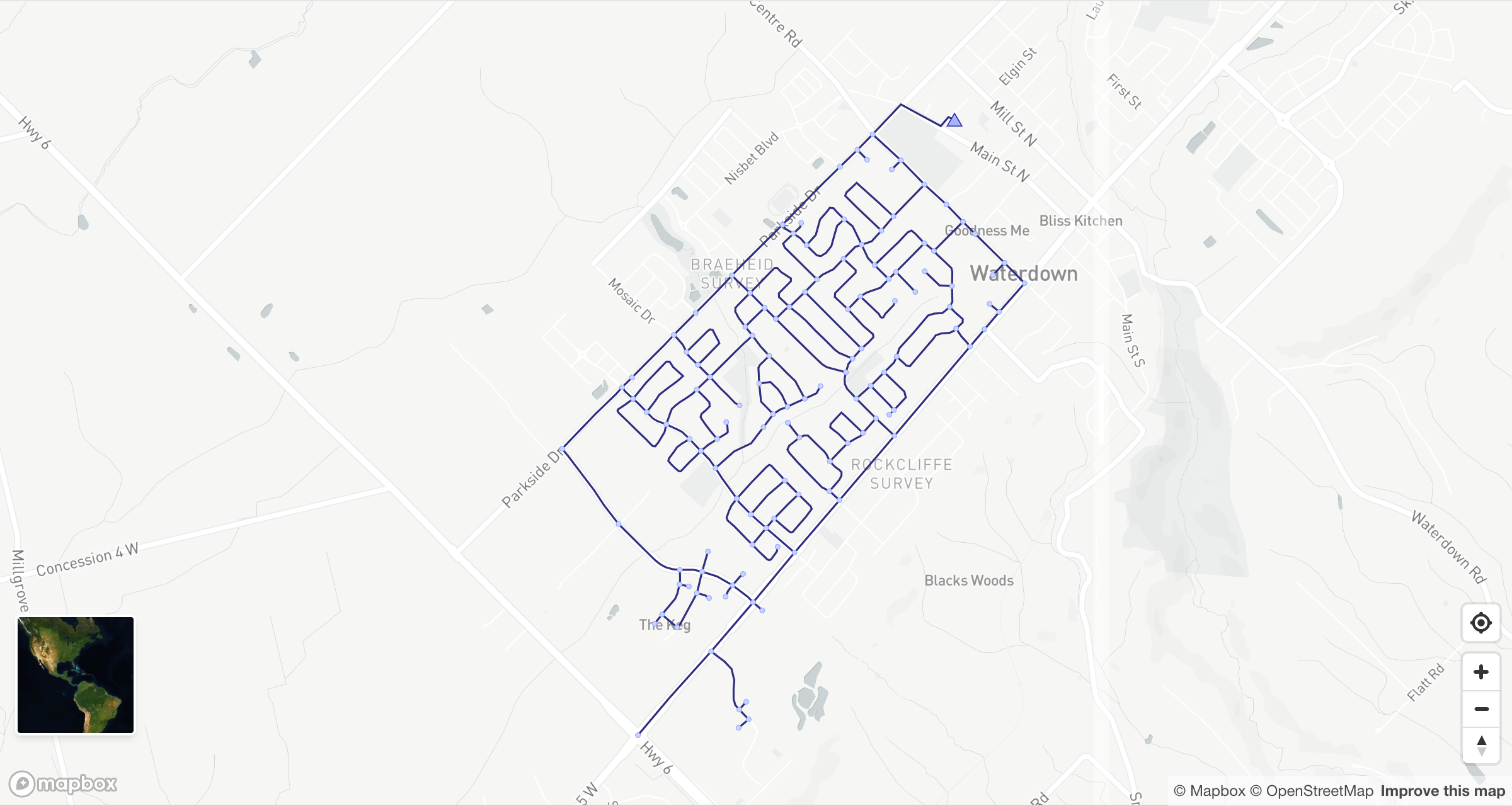
Water distribution network simulation
AquaFlowCustom implementation of the EPANET algorithm for simulating water distribution networks, enabling utilities to analyze hydraulic behavior, optimize operations, and plan infrastructure upgrades.
We built a performant, from-scratch EPANET algorithm in TypeScript, supporting both steady-state and extended-period hydraulic simulations. The engine parses standard EPANET .inp files, constructs the network graph (nodes, pipes, pumps, valves, tanks, reservoirs), and solves for flows and pressures using the global gradient algorithm. It supports demand patterns, pump curves, and leak detection. The modular design allows integration with GIS and SCADA systems for real-time monitoring and scenario analysis. This enables utilities to optimize pump schedules, detect anomalies, and plan capital improvements with confidence.
"Finally, a team that understands both technical complexity and business requirements. They don't just code, they solve problems."
Dr. Emily Zhang
Lead Researcher, AquaFlow
Ready to start?
Let's discuss your project and explore what's possible.